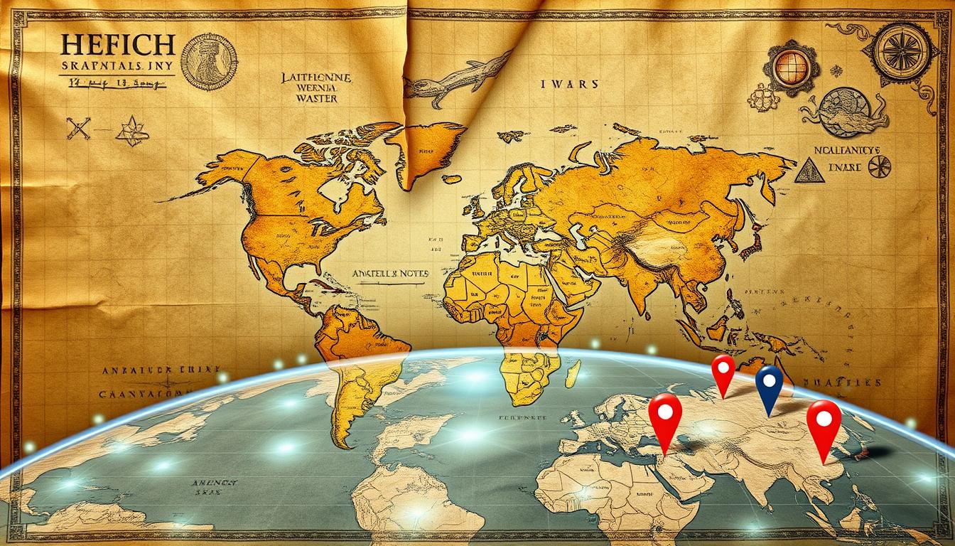
Maps have been key tools in human history, changing from ancient parchment to modern digital displays. They help define territories, guide explorations, and shape how we see the world. The journey of maps shows the big changes in human society, marking the growth of our understanding of the world in Evolution of Maps .
The arrival of GPS and digital maps has made them more precise and user-friendly. Now, maps are interactive and serve many purposes, from helping us find our way to planning the environment. Maps are not just tools; they carry our shared history and culture.
Key Takeaways
- Maps have been essential tools throughout human history, evolving from ancient parchment charts to modern digital displays.
- The evolution of maps reflects the transformations in human civilization, serving as visual records of geographical boundaries, trade routes, and evolving landscapes.
- The advent of GPS and digital mapping technologies has enhanced map accuracy and made them more interactive and accessible for various user needs.
- Maps hold cultural and historical significance, encapsulating the collective experiences of humanity.
- The shift to digital mapping in the modern era has revolutionized map creation and accessibility.
Evolution of Maps: The Historical Significance of Early Map Making
The story of historical cartography begins in ancient Mesopotamia. The Babylonian Map of the World, or Imago Mundi, dates back to the 6th century BCE. It’s one of the oldest known maps, made from clay.
This map shows what the Babylonians knew about their world. It gives us a glimpse into their geography and how they saw the world.
Early maps were more than just maps. They were ways to share knowledge before writing existed. They taught people about their surroundings, trade paths, and the sky.
Creating maps was a team effort. Each generation added to the knowledge of mapping techniques and cartographic history.
Different cultures made maps in their own way. The ancient Greeks focused on math and stars in their maps. Medieval European maps mixed religion with geography.
“Maps have been an integral part of human society for over 5,000 years.”
The materials used for maps also changed over time. The Babylonian Imago Mundi was on clay tablets. Medieval maps were on parchment.
Sea-faring people like the Polynesians used stick maps for the sea. Meanwhile, ancient Chinese cartographers focused on land.
Early maps show many things about cultures, technology, and understanding the world. They give us a peek into how our knowledge has grown over time.

Evolution of Maps Throughout Ancient Civilizations
Cartography, or mapmaking, has been a fascinating journey through time. It shows the diverse cultures, technologies, and ideas of ancient civilizations. From the Babylonian World Map to Ptolemy’s work, it’s a story of human creativity and our quest to understand our world.
The Babylonians were among the first to make maps, starting in the 6th century BCE. Their maps, on clay tablets, showed a flat Earth and a circular ocean. The philosopher Anaximander also made a world map in the 6th century BCE. His map helped people see the Earth as a sphere.
The Egyptians were known for their precise surveying. They used a cubit to measure their land accurately. This focus on detail influenced the Greeks, who used math and astronomy in their maps.
- The Greek geographer Ptolemy, in the 2nd century CE, introduced latitude and longitude. This made maps more accurate and standardized.
- Roman maps were mainly for military and administrative use. They showed roads, towns, and fortifications to help expand and govern their empire.
As civilizations grew, so did the materials and methods used in mapmaking. Cartographers used clay tablets, papyrus, leather, and wood. The style and detail of maps were shaped by technology and culture.
| Civilization | Map Characteristics | Technological Influence |
|---|---|---|
| Babylonians | Flat Earth surrounded by a circular ocean | Clay tablets |
| Egyptians | Precise land surveying using the cubit system | Papyrus |
| Greeks | Spherical Earth, mathematical principles, astronomical observations | Parchment, leather |
| Romans | Military and administrative maps, depicting roads and fortifications | Wax tablets, stone |
Early maps show the unique needs and views of ancient civilizations. From Polynesian stick maps for sea travel to Chinese maps of land and divisions, mapmaking has been a journey of discovery.

“Maps have long been considered the most convenient and effective means of conveying geographic information, and their development has been closely tied to the evolution of human societies.”
Evolution of Maps Through Mathematical Foundations in Cartography
Maps have always been based on math and science. Claudius Ptolemaeus, or Ptolemy, was a key figure. His work, “Geographia,” changed how we see the Earth.
Ptolemy’s Contributions
Ptolemy lived in the 2nd century AD. He used math and astronomy to map the world. His work helped future cartographers.
Greek Influence on Map Accuracy
The Greeks, especially in the Hellenistic period, were big in cartography. They used math and astronomy to make better maps. This Greek work made maps more accurate and reliable.
Development of Scale and Projection
Scale and projection were big steps in map making. Cartographers used math to show the Earth’s shape on flat maps. This made maps more accurate and useful. These changes were key in cartographic innovations and spatial representation.
| Cartographic Milestone | Contribution |
|---|---|
| Ptolemy’s “Geographia” | Introduced mathematical precision and astronomical observations to cartography |
| Greek Advancements | Improved map accuracy through advances in mathematics and astronomy |
| Scale and Projection Development | Enhanced the representation of the Earth’s curvature on flat surfaces |

“The development of scale and projection techniques further enhanced map accuracy and usability. These mathematical foundations laid the groundwork for more precise and scientifically-based cartography in subsequent eras.”
Navigation Methods Before Modern Technology
Before modern tools, explorers used clever ways to find their way. Celestial navigation was key, using stars, sun, and moon. Polynesian wayfinders used these and ocean currents to cross the Pacific.
On land, people made detailed mental maps of their surroundings. They used trees, rocks, and rivers to navigate. This helped nomadic clans travel far without much help.
Early mapping tools like simple charts and compasses were also used. The Greeks made the astrolabe, a tool for measuring the sky. It was very helpful for both sea and land travelers.
| Navigation Method | Description | Significance |
|---|---|---|
| Celestial Navigation | Using stars, sun, and moon as reference points | Crucial for seafarers and land explorers |
| Cognitive Mapping | Developing mental maps of surroundings | Allowed nomadic clans to traverse vast territories |
| Old Mapping Tools | Simple charts, compass-like devices, and measuring instruments | Aided navigation before modern technology |
These mapmaking innovations and navigational tools may seem old now. But they were the start of better ways to map and navigate. They paved the way for how we explore and understand our world today.

Evolution of Maps: The Age of Exploration and Map Development
The Age of Exploration, from the 15th to 17th centuries, was a big change in cartography history. European explorers went to the Americas, Africa, and the Far East. They found new lands and made maps more accurate and detailed.
Maritime Navigation Advances
New tools like the compass and astrolabe helped explorers go further. People like Christopher Columbus, Vasco da Gama, and Ferdinand Magellan made long journeys. They gave us a lot of information about new places.
At first, they thought the Americas were part of Asia. But soon, they realized it was a separate continent.
Discovery of New Territories
This time was full of big discoveries. Explorers like Pedro Álvarez Cabral and Bartolomeu Dias mapped Africa and the Indian Ocean. Magellan’s journey showed how big the world really is.
These trips and the Renaissance’s focus on old maps made maps more accurate.
Colonial Impact on Mapping
European colonies changed maps a lot. They wanted to control trade and had big interests. Maps often showed Europe as the center, with other places based on their colonies.
The Age of Exploration changed how we understand and map the world. It’s a key part of our history of exploring and showing the world.

| Year | Significant Event |
|---|---|
| 1419 | Portuguese explorers discover the Madeira Islands |
| 1427 | Portuguese explorers discover the Azores Islands |
| 1453 | The Ottoman Empire takes control of Constantinople, blocking European access to critical trade routes |
| 1492 | Christopher Columbus makes his first journey, leading to the discovery of new lands in the Caribbean |
| 1494 | The Treaty of Tordesillas divides the world in half between Spain and Portugal |
| 1607 | England establishes its first permanent North American colony at Jamestown, Virginia |
The Digital Revolution in Cartography
The world of cartography has changed a lot in recent years. The digital revolution has brought big changes in geographic visualization, cartographic innovations, and mapmaking. Let’s see how the digital age has changed cartography.
In the 1960s and 1970s, computer software for making maps was first developed. This early work set the stage for future breakthroughs. The 1980s brought Geographic Information Systems (GIS), changing how we analyze and show spatial data.
The 1990s were key when the internet made digital maps easy for everyone to use. MapQuest and Google led the way with online maps. This made navigating easier than ever before. The 20th century also saw the use of aerial and satellite images, making maps more dynamic.
GPS technology is a big step forward in cartography. It has changed how we navigate outdoors, giving us real-time location tracking. It makes exploring the world easier and more intuitive.
| Milestone | Year | Impact |
|---|---|---|
| Development of computer software for creating and manipulating map images | 1960s-1970s | Laid the foundation for digital mapping |
| Emergence of Geographic Information Systems (GIS) | 1980s | Revolutionized spatial data analysis and visualization |
| Rise of the internet and online mapping services | 1990s | Increased public access and accessibility to digital maps |
| Integration of aerial and satellite imagery | 20th century | Transformed maps into dynamic landscape representations |
| Advent of GPS (Global Positioning System) technology | Present | Revolutionized outdoor navigation and location tracking |
The digital revolution has changed cartography a lot. It has opened up new ways to show and understand the world. As technology keeps getting better, we can look forward to even more changes in digital cartography.
Geographic Information Systems and Modern Mapping
Geographic Information Systems (GIS) has changed how we see and interact with our world. It combines satellite tech and real-time data to create advanced maps. These maps give us insights we never had before.
Integration of Satellite Technology
The first Landsat satellite was launched in 1972, starting a new era of Earth watching. Now, a group of satellites always gather data. This data is used in digital maps, giving us a lot of information.
Real-time Data Applications
GIS helps businesses, governments, and groups make quick decisions with real-time data. It’s used for tracking diseases and improving supply chains. This tool is key for solving big problems.
Advanced Visualization Techniques in Evolution of Maps
The mix of mapping technology transformation, geographic information systems, and spatial data visualization has led to better mapping tools. These tools show maps in 3D, have interactive dashboards, and are easy to use. They are vital for planning cities and saving the environment.
“Maps play a crucial role in facilitating adaptation to new circumstances and driving progress towards creating a better world.”
The growth of geographic information systems has changed modern mapping. It lets users make informed choices, tackle big issues, and understand our world better.
The Impact of GPS on Navigation
The journey of maps has been amazing, thanks to GPS. It changed how we find our way around. Before, we used stars and landmarks. Now, GPS uses satellites to guide us.
GPS has made navigation better in many ways. It’s more accurate and easy to use. This is true for everyone, from drivers to the military.
GPS has also changed how we use maps on our phones. It makes finding places and getting directions easy. Businesses use it to save time and money. It also helps emergency services get to us faster.
As GPS gets better, it will keep changing how we navigate. It will keep improving maps and how we use them.